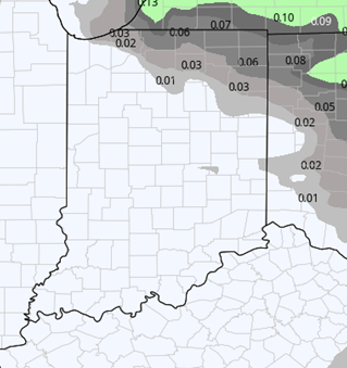
 A chilly start to this weekend with cold air holding over the state. However, we also start the weekend off dry for Saturday. Rain will arrive on Sunday, though, bringing another slight pause to harvest activity. The system pushes in from the west and will bring scattered showers with 75% coverage. Moisture totals are not that impressive but will yield a few hundredths to no more than half an inch. A majority of the areas that see rain will be in the lower half to third of that range. All action ends by midnight Sunday night.
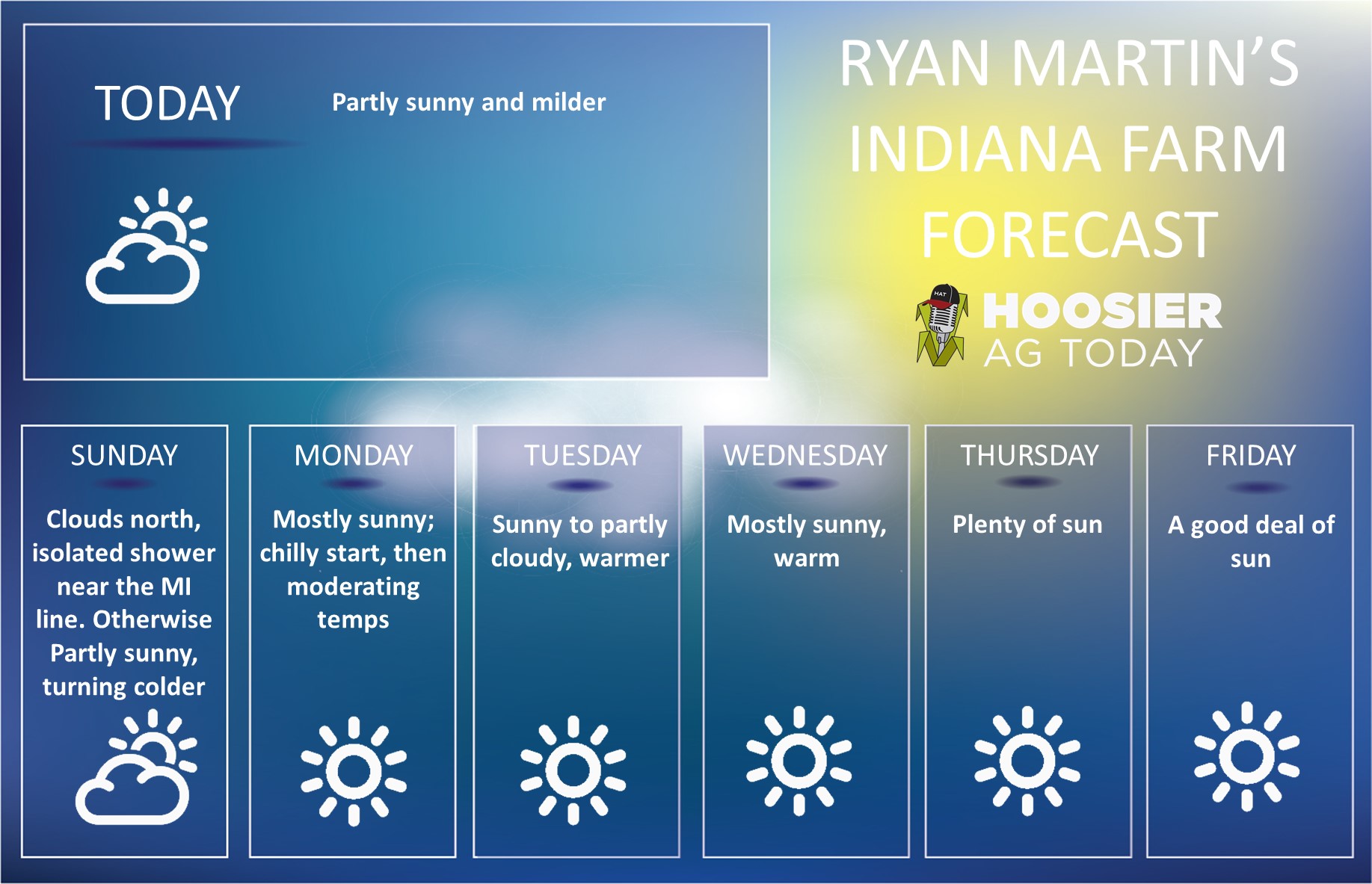
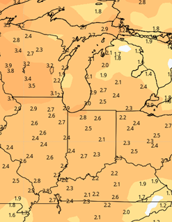
Another quick push of cool air follows that system for early Monday morning. However, we do see good sun emerging for most of the rest of the week, which will boost temps quickly. WE should finish Monday near normal, and then be above normal on temps by Wednesday.
On Wednesday, we are tracking low pressure moving from the Canadian prairies across far northern MN, Lake Superior and northern WI, and MI. The low actually moves across the thumb of MI Wednesday afternoon. This fast moving little low will trigger showers to the north, but at this time, we do not think it will bring rain this far south. Clouds will be around on Wednesday, especially in northern Indiana, but it should be breezy. With no rain, there will not be any impact on harvest. But, behind the front that moves through, we do correct temps back lower a bit for Thursday and early Friday. We expect decent sunshine those days, though.
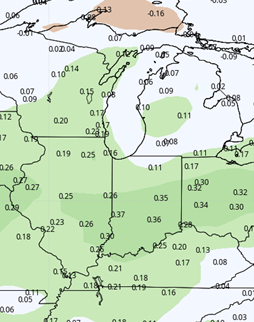
We finish the week and weekend with another surge of temps to the upside. We should be well above normal next weekend with excellent drying and evaporation. No rain expected. This continues into Monday the 12th. The map below shows total rain potential for the next 10 days. Pretty much all of this comes Sunday.
 Extended Period:
The extended 11-16 day forecast period starts with a continuation of the pattern at the end of the 10 day…we stay warm and dry likely from the 13th through the 16th. However, around the 13th we are starting to watch a system try and develop over the western US in the central Rockies. Any weather system that develops in the mountains has a difficult road to move along to end up bringing moisture here. However, we will be watching to see if it is able to exit the Rockies with any moisture or pressure gradient intact in the central plains. If it can, that may signal a threat of moisture closer to the 17th or 18th as we finish the extended period. However, we have low odds of that at this time. The extended period looks good for full harvest progress over Indiana.
Weeks 3 & 4:
Warmer than normal and drier than normal patterns continue through the end of the month. We see no significant rain makers in either week three or four. That is not to say it wont rain. However, any moisture we see moving through will be similar to what we have in the near term forecast…a few hundredths to few tenths, perhaps triggering a slight pause in harvest activity, but then resuming quickly.
Week 3
Precipitation (green: above normal, brown: below)
 Temperatures (blue: below normal, orange: above)
 Week 4
Precipitation (green: above normal, brown: below)
 Temperatures (blue: below normal, orange: above)

![]()