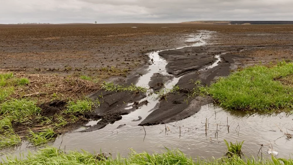
A big weather system is brewing for the Western and Central Corn Belt over the weekend and HAT Chief Meteorologist Ryan Martin says we’ll see some of that try to get into Indiana.
“At this point, I think we have to divide the system up into two waves. The first wave initiating here Friday night and going through Saturday. I think that it’s going to be mostly Saturday midday and afternoon before it winds down. We’ll see anywhere from a quarter to three quarters of an inch of precipitation across the Hoosier State with coverage only about 60% to 70% max.”
Martin has the second wave coming from the big storm complex late this weekend.
“Sunday late afternoon/evening through Monday- so, we are dry from Saturday afternoon through Sunday afternoon. We’re not seeing a lot of drying, but I think we are dry. And then the second round of moisture brings a quarter to three quarters of an inch of rain through Monday afternoon with coverage at 100% of the Hoosier state.”
The rest of Martin’s 10-day forecast doesn’t look good for planting progress either, with on-again, off-again showers throughout.
“So, we don’t see anything coming Tuesday, but you get into Wednesday and we’ve got hit-and-miss scattered showers with a frontal boundary coming through bringing a quarter to three quarter inch potential in that. We are dry for Thursday and Friday, but on Thursday, we’re cool for sure. Friday, we start to warm up. Saturday the 4th, I don’t think we see much of anything here in Indiana, but Sunday the 5th we’ll see scattered showers back with a quarter to half an inch with coverage around 75% of the state. So, to me the issue is we don’t have long enough dry windows in between our precipitation outbreaks over the next 10 days.”
Martin provides more forecast details in our Saturday morning e-newsletter delivered to your inbox at 6am if you sign up now below.


