The eastern corn belt and great lakes remains wet over the next 10 days. We are stringing together some back to back dry days, but the precipitation that comes does not stretch out enough to give us big confidence that we have enough drying.
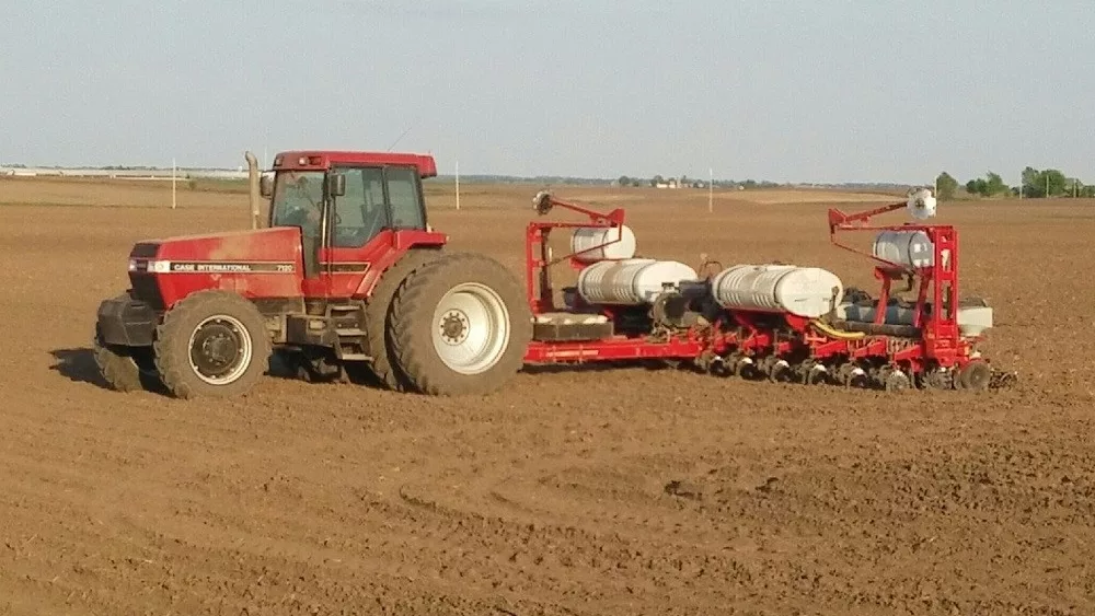
We need to continue to expect random potential for field work based on some areas getting missed over the next 10 days to 2 weeks, but also enough moisture that we continue to lag on planting progress.
Saturday turns out mostly dry. We will have some clouds holding over the area, but generally no new precipitation. Both Michigan and Indiana see better sunshine Sunday. Clouds increase to the west on Monday, bringing some rain shower action to northern MI before sunset, but the rest of lower MI and all of Indiana remain precipitation free late Monday into early Tuesday morning.
The weather system that is triggering the clouds build up to the west early in the week will move east for Tuesday and Wednesday. Rain showers initially start early Tuesday morning in northern MI, develop in SW lower MI Tuesday late morning, and then move across the rest of the MI/IN area late Tuesday afternoon/evening and into Wednesday midday. However, we do see some holes opening up, and as such, we are projecting rain totals in most areas to be half an inch or less. The only places to see higher rain totals will be extreme southern IN near the OH river, and then in far northern MI.
We go back to dry weather for Wednesday later afternoon and evening through Thursday. Friday, we see moisture lift up from the southwest into central and southern IN, tracking into OH. This will produce rain in Indiana of .25”-1” with coverage at 75% of the state. Only northern areas miss out. MI does not see any precipitation from that round late in the week.
Unsettled weather continues for the rest of the Memorial Day weekend. We won’t rule out hit and miss showers Saturday, Memorial Day, but we expect under 40% coverage on either of those days. We stay warm and humid. Smack in the middle will be a big round of showers and storms with 100% coverage over IN and 70% coverage in MI on Sunday the 26th. Rain totals there will be half to 1.5”.
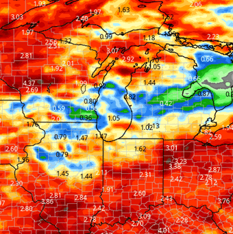
The map below shows precipitation for the region combined over the next 10 days.
Extended Period:
The extended window still looks humid and a bit unsettled, but we should be dry Tuesday and Wednesday. Thursday the 30th we see scattered showers with 50% coverage over MI and IN. Action lingers in MI and by association a few northern tier counties in IN for the 31st into the 1st. Farther south we dry out a bit. We should return to sunny, warm and dry weather for the 2nd on into the first fill week of June.
Weeks 3 & 4:
Weeks three and four remain near normal on precipitation, so chances will be around. Temps are warmer than normal for the first half of June. Evaporation should be strong in that kind of set up. However, drying potential comes down to seeing lower rain totals out of any system that develops in weeks 3 or 4.

