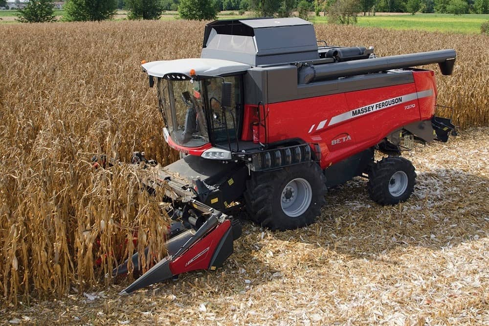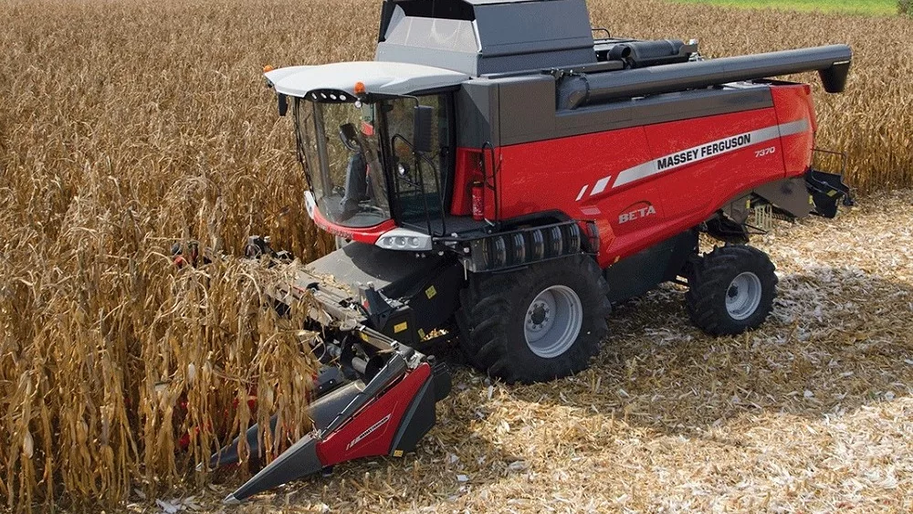
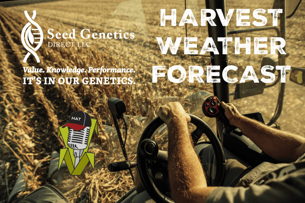
Helene is upsetting the apple cart of harvest just a bit this weekend in my Seed Genetics Direct Harvest Weather Forecast.
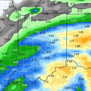
The post tropical cyclone will spend Saturday and Sunday wobbling between Evansville, IN, Paducah, KY and Cape Girardeau, MO. The storm was very moisture laden. While it is not picking up any more moisture off of the gulf, she will spend the next two-three days raining out all the moisture that was a part of the storm over the eastern corn belt and OH valley, sending bands of clouds and moisture through Indiana. The heavy moisture is done. However, we will be able to pick up anywhere from a few hundredths to another 0.75” of an inch of pesky light shower and drizzle action all the way through Monday. Coverage will be 70% daily, and nearly 100% for the combined 3-day period.
Clouds likely hold into Tuesday before breaking up. Then we should be sunny, dry and pleasant for the rest of the week, the weekend and into next week. This will be where we see the best chance of harvest returning. Drying will be fast. In northern areas of the state where moisture was not over the top from Helene, we should get back to harvest relatively quickly. In southern parts of the state where moisture turns out to be more significant, it will take a lot longer. However we expect evaporation to reach a max of 0.25”-0.33” of moisture per day. We will have to watch Friday closely. A minor disturbance in MI and WI may throw a few more clouds into northern IN, and there is a minor threat of moisture. But, right now we are keeping our forecast dry.
Closer to the 8th, we expect a minor front to sweep through. The bulk of the moisture with the system stays north over MI and into Canada, but the frontal passage may trigger .1”-.5” over 60% of the state.

Extended Period:
Colder air will try to dive in behind that early week system for the state. While not super cold, it will be much closer to normal than where we spent most of September. However, we are also looking at a dry finish to the week and start to the following weekend, meaning we have another opportunity for harvest to pick right back up over most of the state.
Weeks 3 & 4:
Mostly dry and still rather warm for most of weeks three and four. We see slightly better precipitation potential in week four but are not overwhelmed with moisture. Temps are not as warm relative to normal as weeks prior, but still above normal in general right on into late October.
Week 3
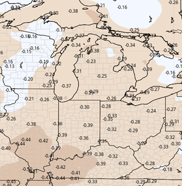
Precipitation (green: above normal, brown: below)
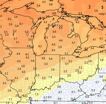
Temperatures (blue: below normal, orange: above)
Week 4
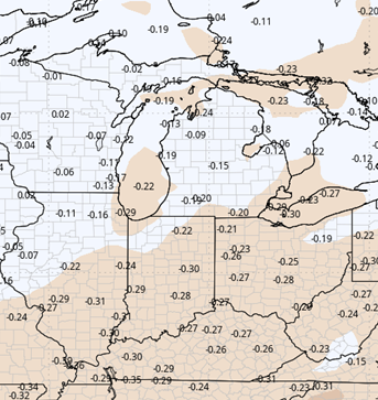
Precipitation (green: above normal, brown: below)
Temperatures (blue: below normal, orange: above)